Tourist Places
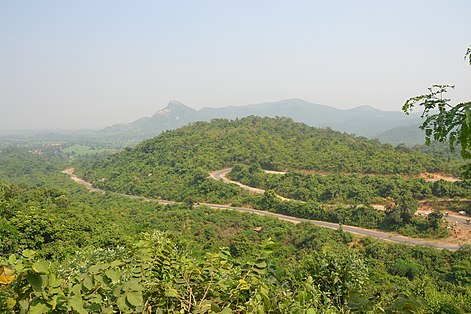
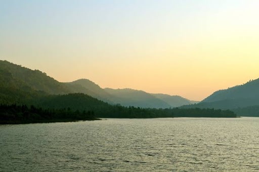
Mayur Pahar
Mayur Pahar (সূর্যাস্ত স্থল). Tourist Attraction in Ajodhya. Ajodhya Hills Road, Ajodhya, West Bengal

- 30 Aug'19
- By Owner
-

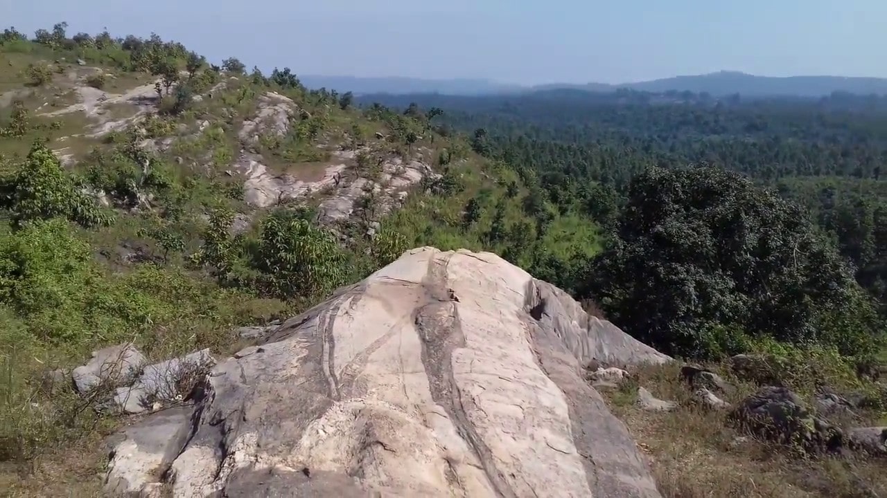
View Point
Highest point. Elevation, 712 m (2,336 ft). Geography. Eastern Ghats Mountains(পূর্বঘাট পর্বতমালা).
- 30 Aug'19
- By Owner
-

Bamni Falls
The scene indicates the unblemished purity of nature when not ravaged by human habitation.
- 30 Aug'19
- By Owner
-
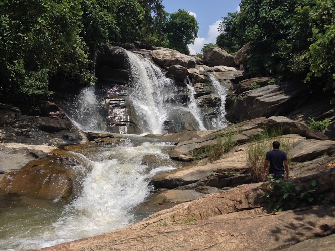
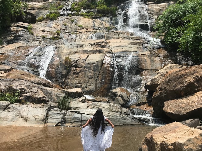
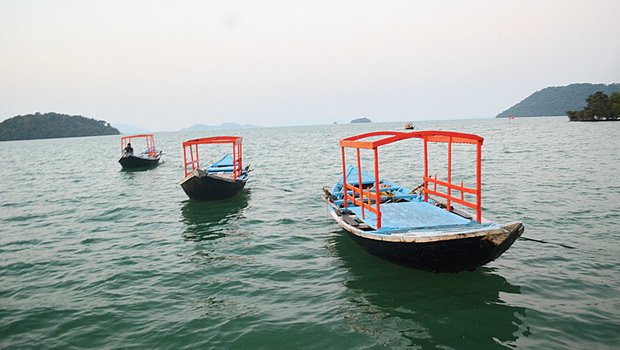
Turga Falls
It's a cascading water fall. Its water is the very clear. One can see through it as if it were a piece of glass.
- 30 Aug'19
- By Owner
-

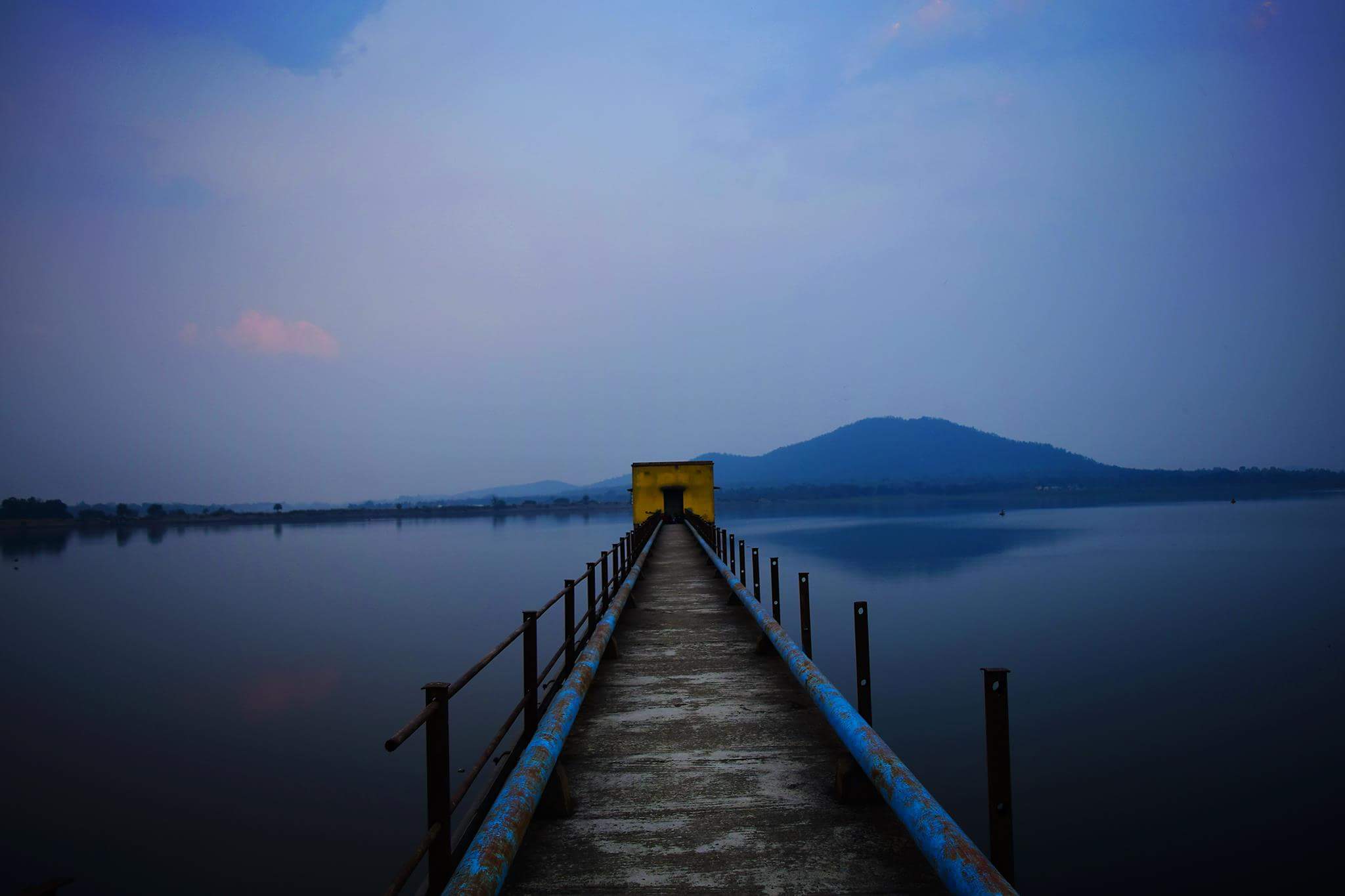
Upper Dam
Upper dam, PPSP. Ajodhya Pahar became important in terms of electricity generation for the first time in 2008.
- 30 Aug'19
- By Owner
-
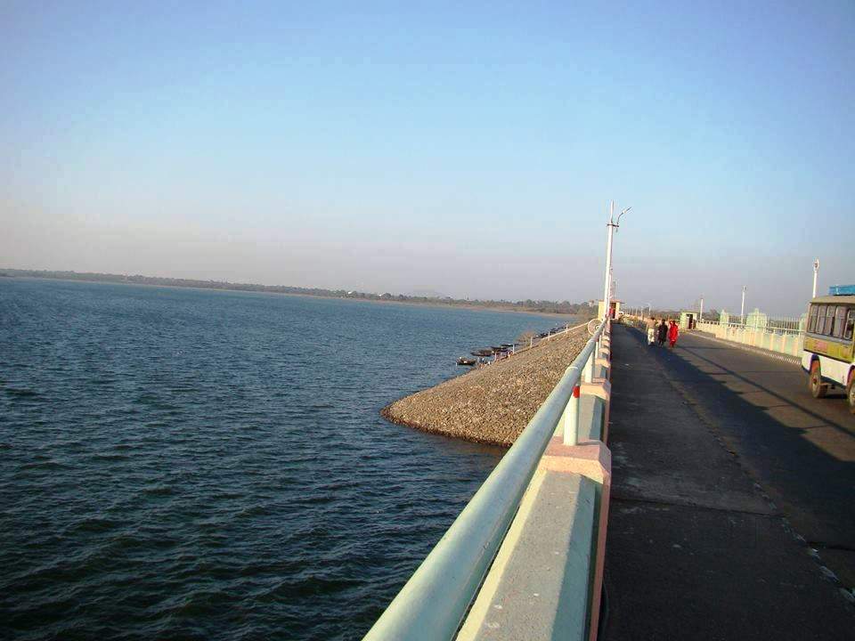
Lower Dam
Purulia Pumped Storage Hydel Power Project: 36 Km from Balarampur Rly. Station. 18 Km from Matha. 10 Km from Bagmundi.
- 30 Aug'19
- By Owner
-
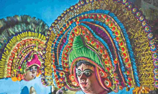
Charida Mukhosh Gram
The village of 300 skilled mask makers of the celebrated dance form of the region, Chau.
- 30 Aug'19
- By Owner
-
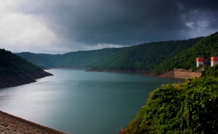
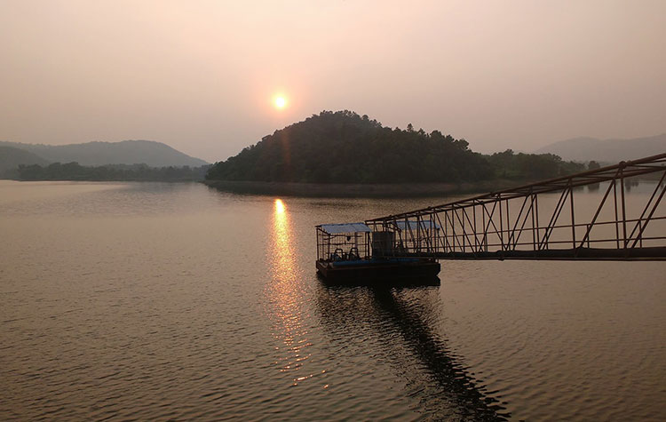
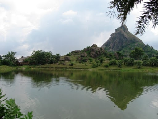
Khairabera Dam
It is a beautiful lake amidst an irrigation dam in the midst of slopes and woods at Baghmundi hills
- 30 Aug'19
- By Owner
-
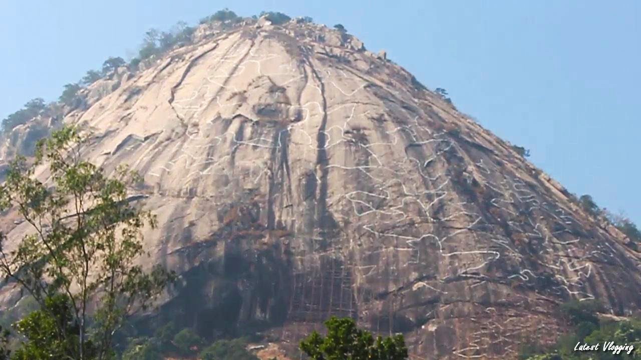
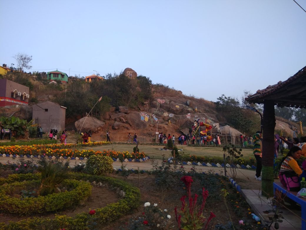
Pakhi Pahar
Chitta Dey is sculpting a part of Ayodhya Hills with images of birds and the place is now drawing tourists
- 30 Aug'19
- By Owner
-
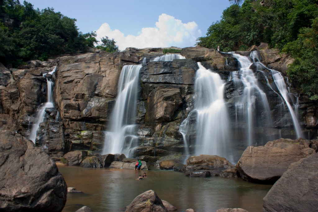
Jonha Falls
The waterfall is an example of a hanging valley falls. Water falls from a height of 43 metres to create a mesmerizing picture.
- 30 Aug'19
- By Owner
-
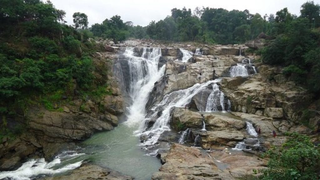
Sita Falls
Sita Falls is a waterfall located in Ranchi district in the Indian state of Jharkhand. The Sita fall is in Radhu river.
- 30 Aug'19
- By Owner
-
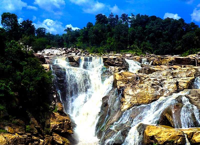
Dassam Falls
The Dassam Falls is situated at 34 km from the city of Ranchi on Ranchi-Tata road near the Taimara village.
- 30 Aug'19
- By Owner
-
Joychandi Pahar
Joychandi Pahar is a hill which is a popular tourist attraction in the Indian state of West Bengal in Purulia district.
- 30 Aug'19
- By Owner
-
Baranti
A small tribal village in the Santuri in the Raghunathpur, Situated beside Baranti Lake. This is a growing, but quiet, tourist spot.
- 30 Aug'19
- By Owner
-
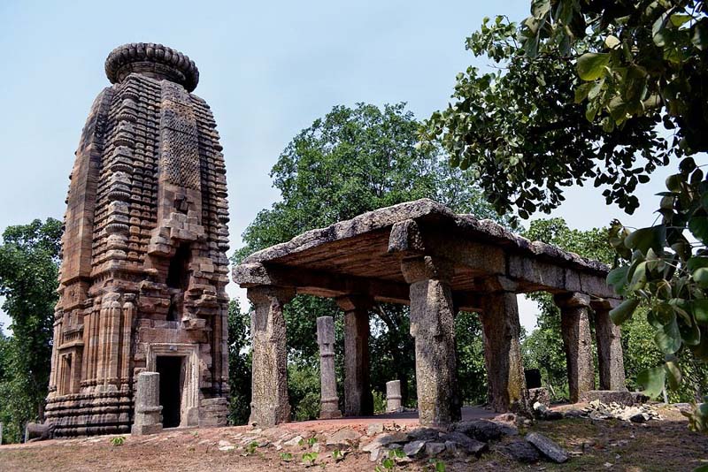
Garh Panchkot
Garh Panchkot is a ruined fort located in the eastern part of India at the foothills of Panchet Hill.
- 30 Aug'19
- By Owner
-
Panchet Dam
It was constructed across the Damodar River at Panchet in Dhanbad district in Jharkhand, and opened in 1959.
- 30 Aug'19
- By Owner
-
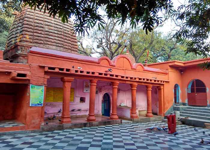
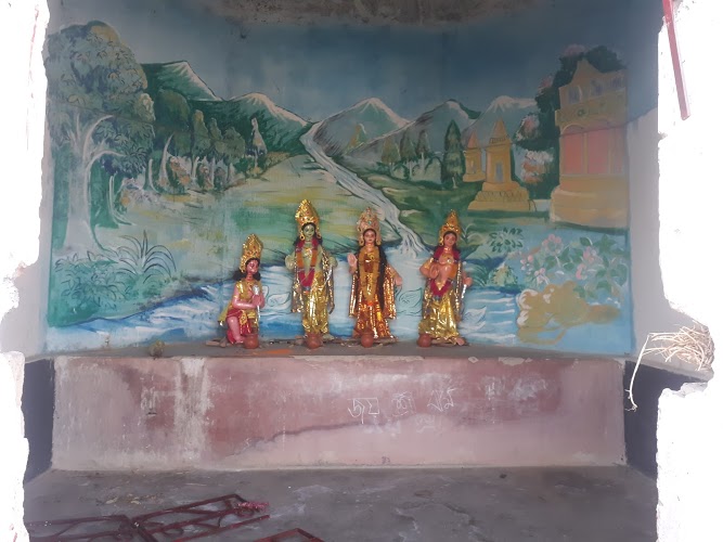
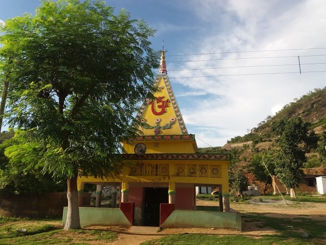
Kalyaneshwari Kali Mandir
Kalyaneshwari temple at Kalyaneshwari in Asansol Sadar subdivision of Paschim Bardhaman.
- 30 Aug'19
- By Owner
-